Malta -A Walk Along Dingli Cliffs
Not having associated Malta as a walker’s destination, I’m pleasantly surprised to have had found leaflets of walks around Malta at the Mdina Tourist Office. From the armful I picked up that day, this is the walk I’ve chosen for today.
- Start of Day: Valetta Bus Terminus, Malta
- Cost of Day Out : Cheap
Dingli is 20 minutes further past Mdina which I had visited yesterday (Blog Link here). Despite Mdina being the highest city in Malta, the bus still continues up a slight slope towards the town of Dingli. It all bodes well for a cliff walk.
The bus driver, assuming that all tourists must be heading to the famed Dingli Cliffs, bundles me off at the lonely looking Carruta bus stop. As it was too complicated to convey my slightly different plans to him, obediently, I do as I’m told.
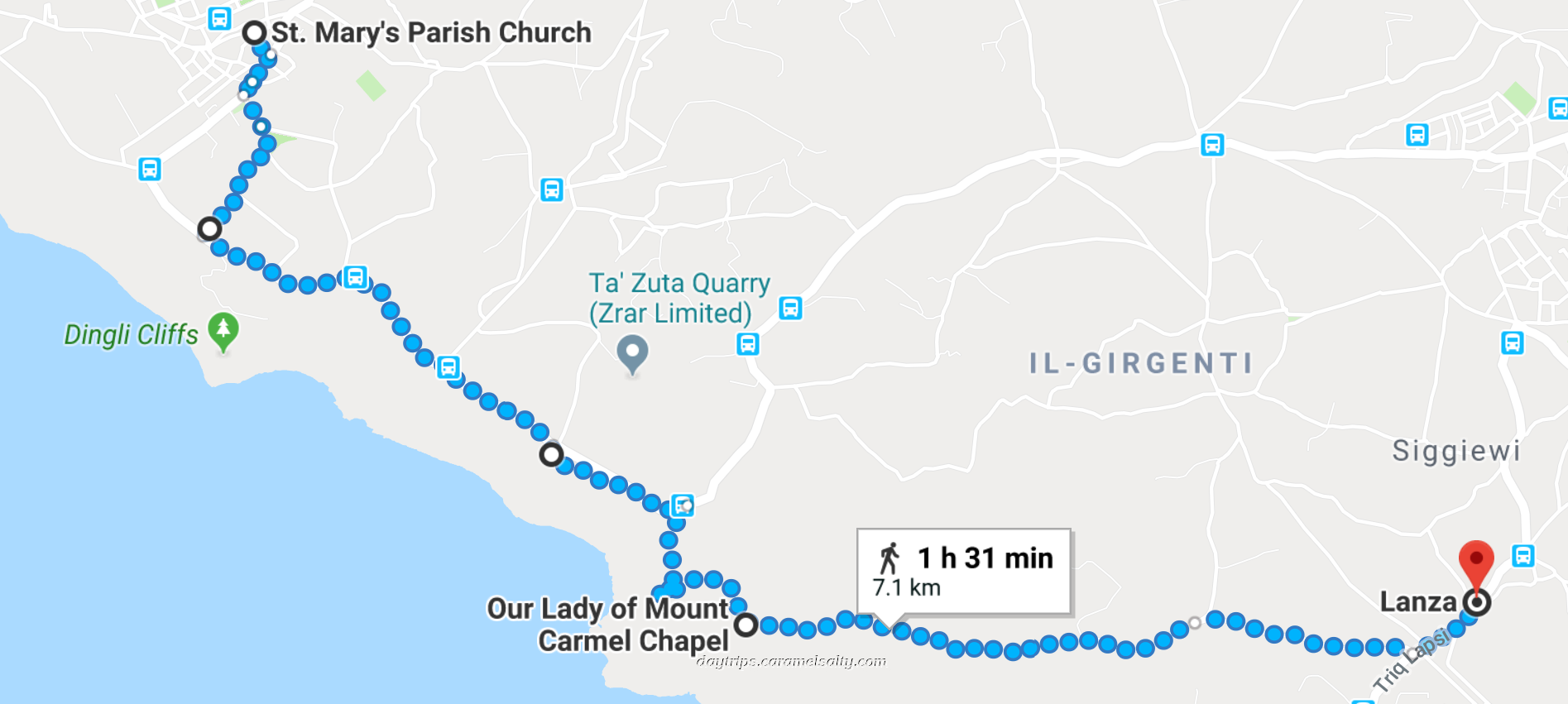
Just as in every other town in Malta, I had spied the huge [1] St. Mary’s Parish Church, in the town centre from my jaunt on the bus. And that’s where I start my version of the walk.
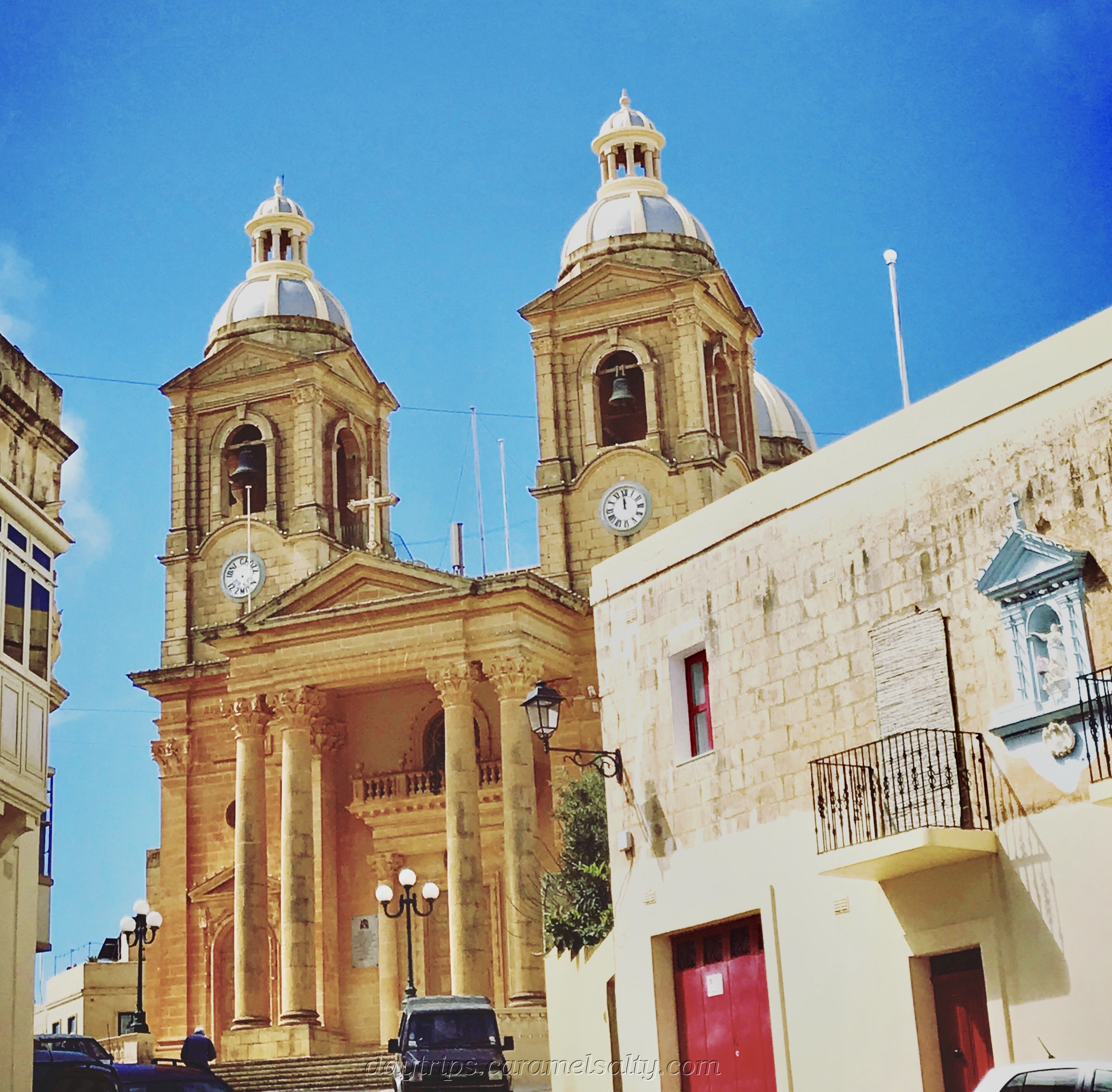
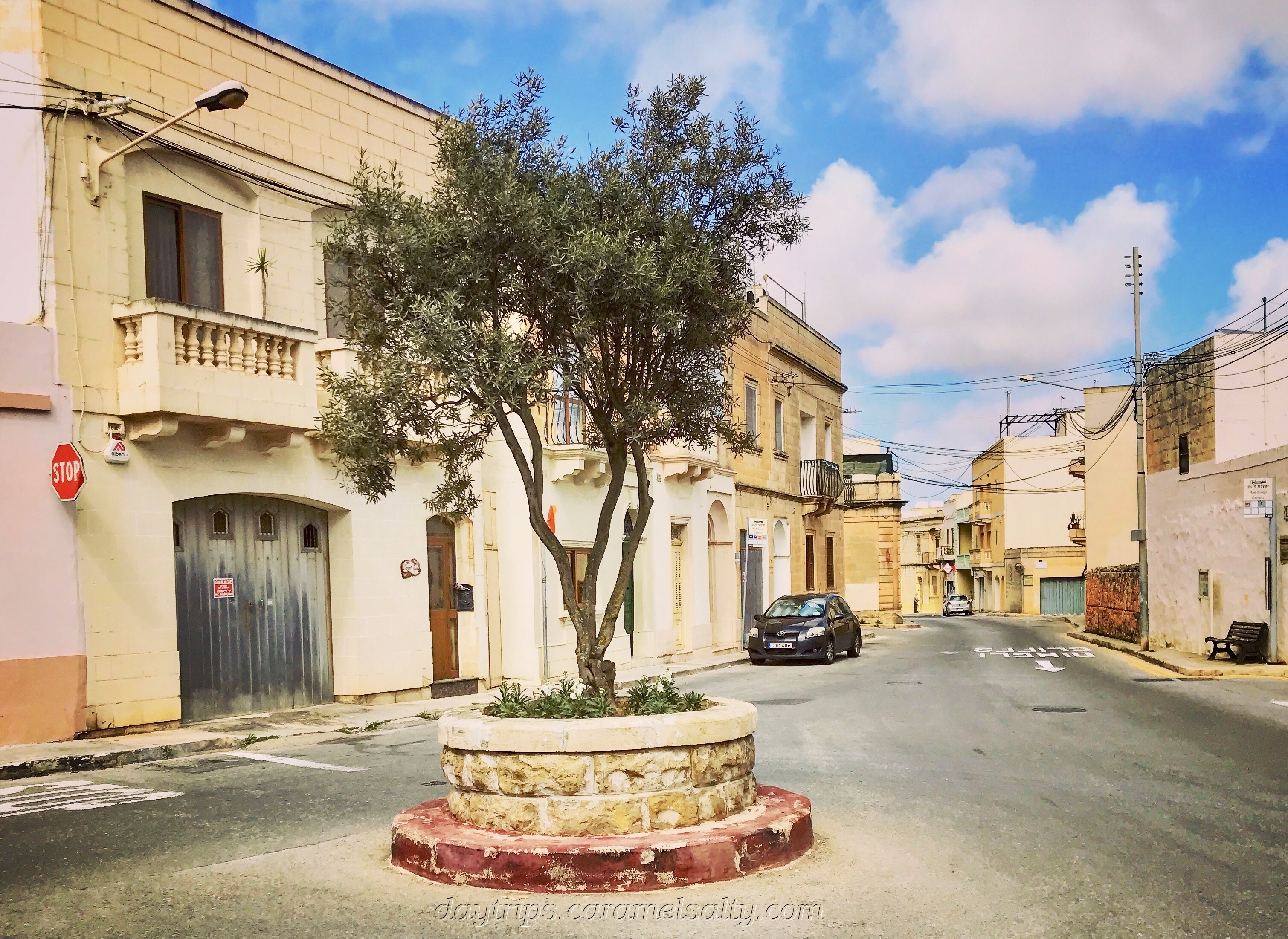
Apart from the church, and the cutest tree and bench filled town square I’ve ever seen, and the local social club, there’s not much going on here. It’s a local town for local people.
To start my walk, I first need to locate the radar balls. Heading towards the cemetery, I bear left down a minor road, which transports me to an English countryside. I’m surrounded by a profusion of colourful chamomile, fox gloves, heather, cowslips, cacti and other flowering plants, exulting in this gorgeous spring day.
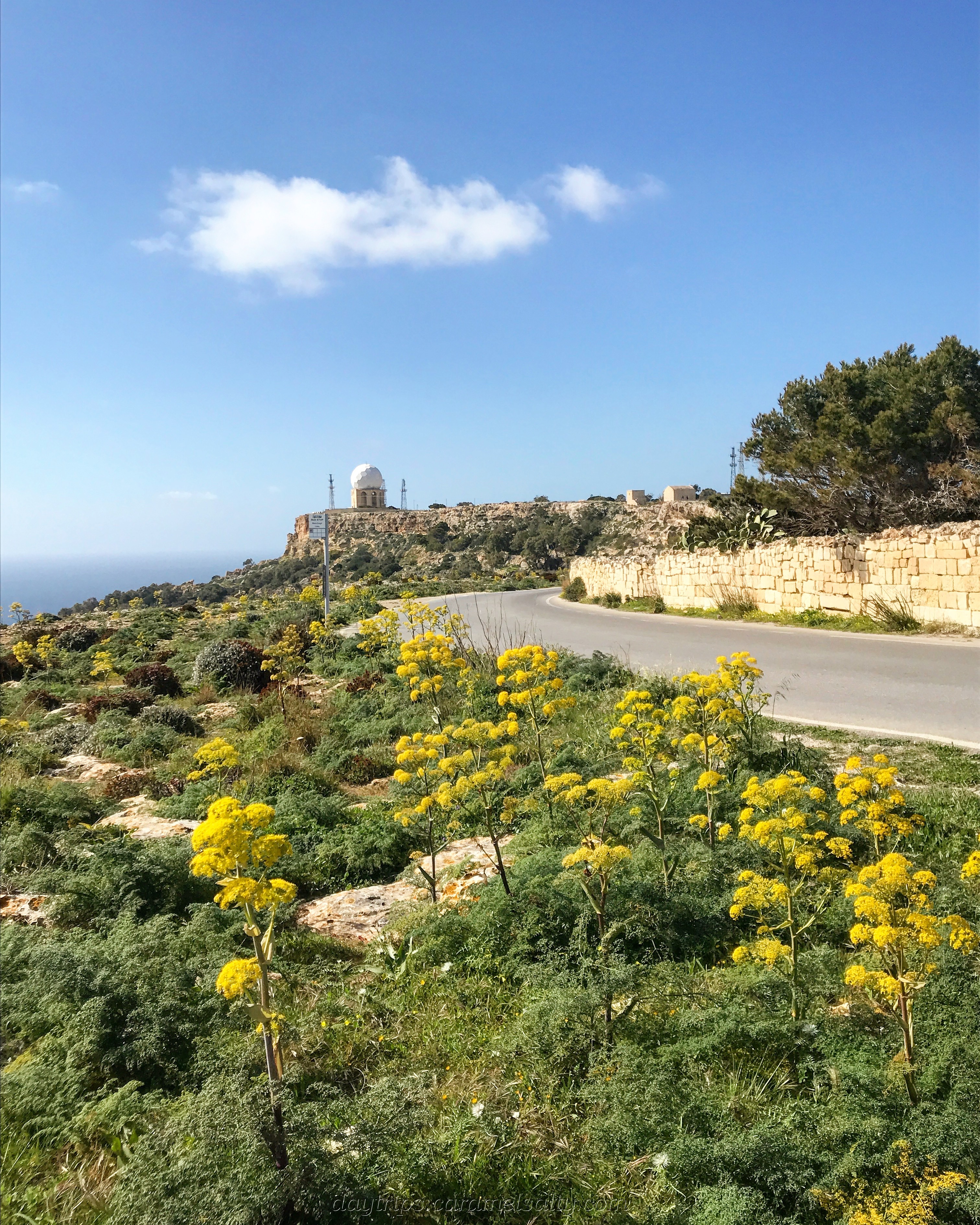
I catch sight of the large, white, golf ball structure of the [2] Radar ‘il Ballun which houses the radar system for Malta airspace. Gazing at them from a distance across meadows, I reckon this is the best way to view brutal, concrete structures in the countryside.

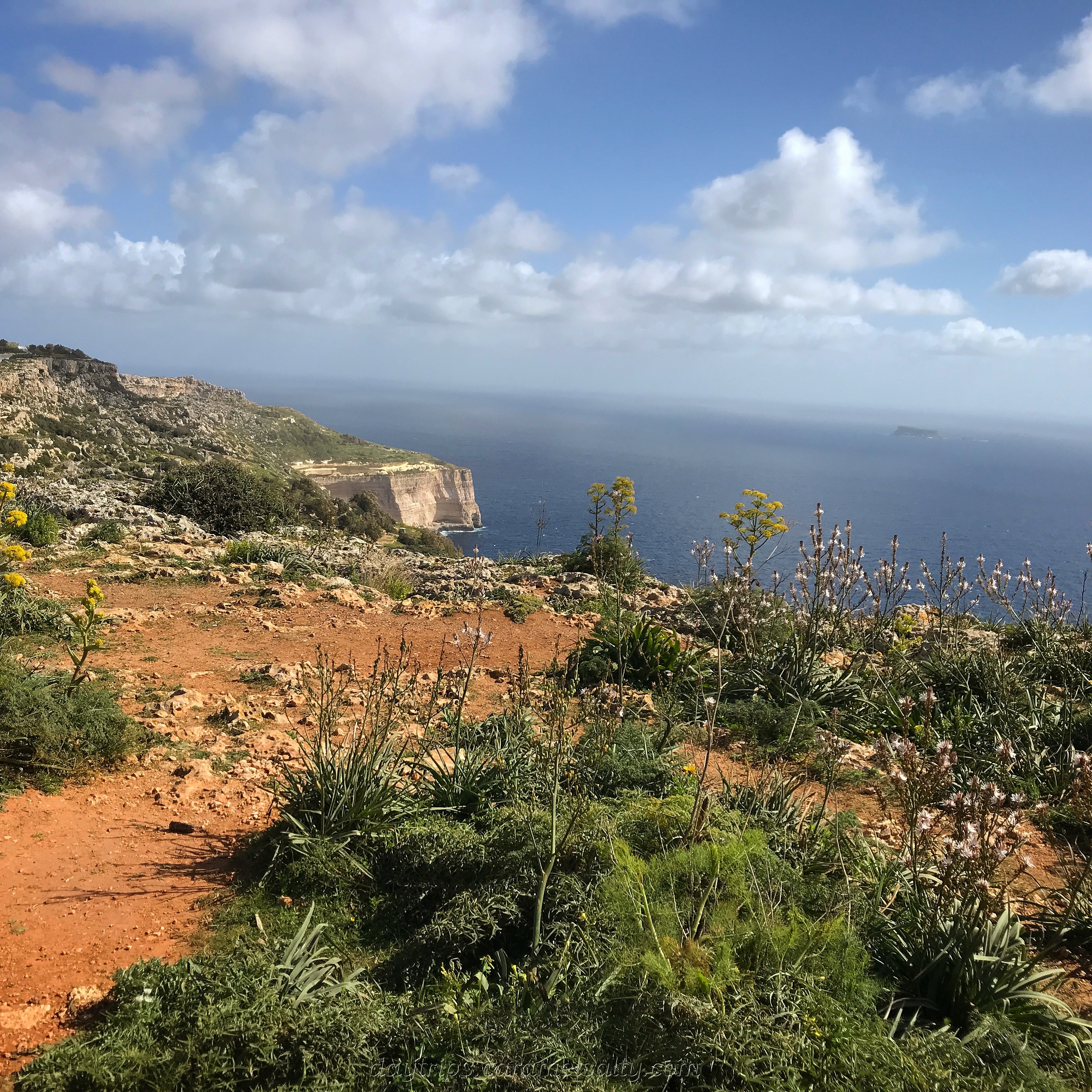
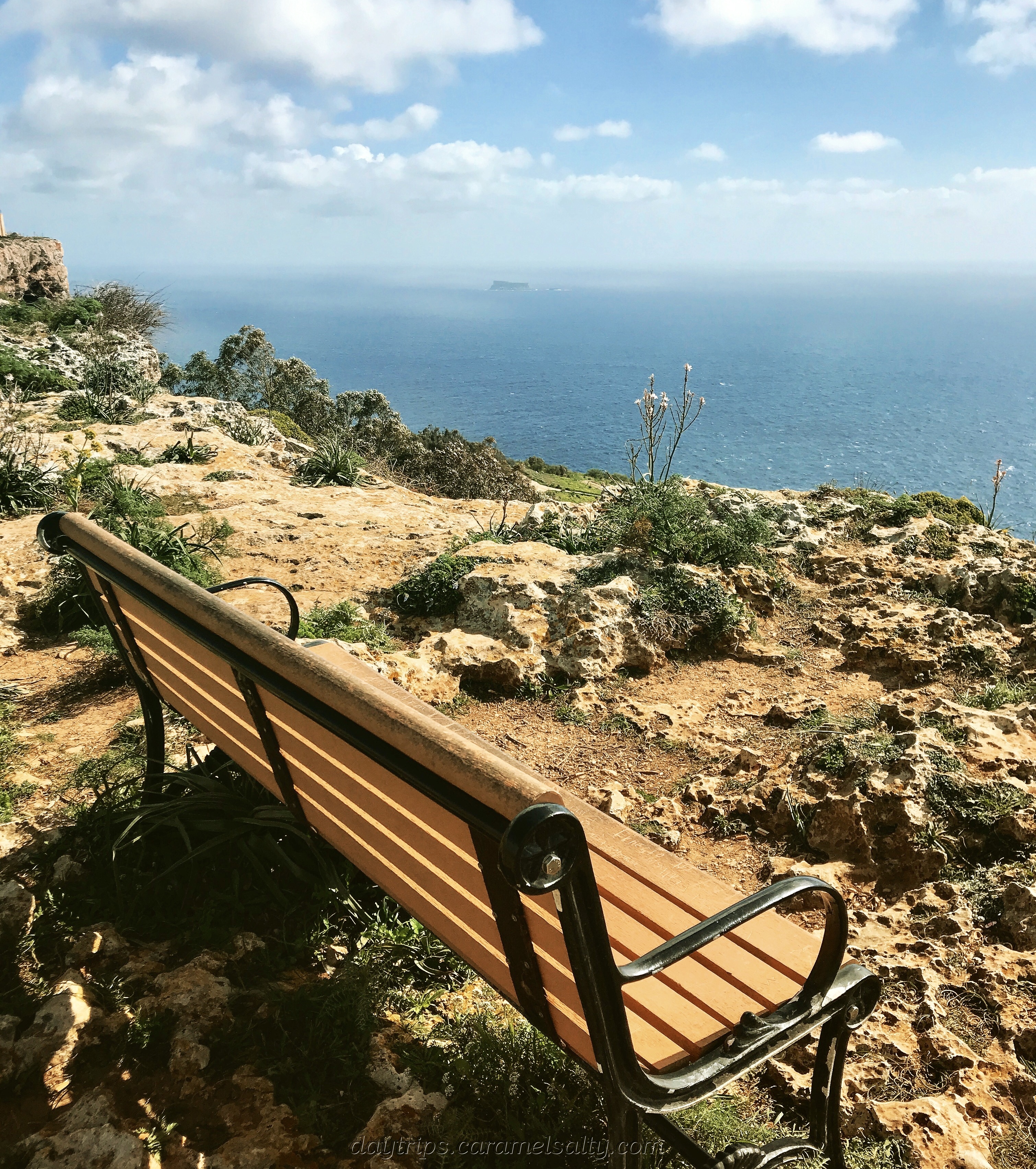
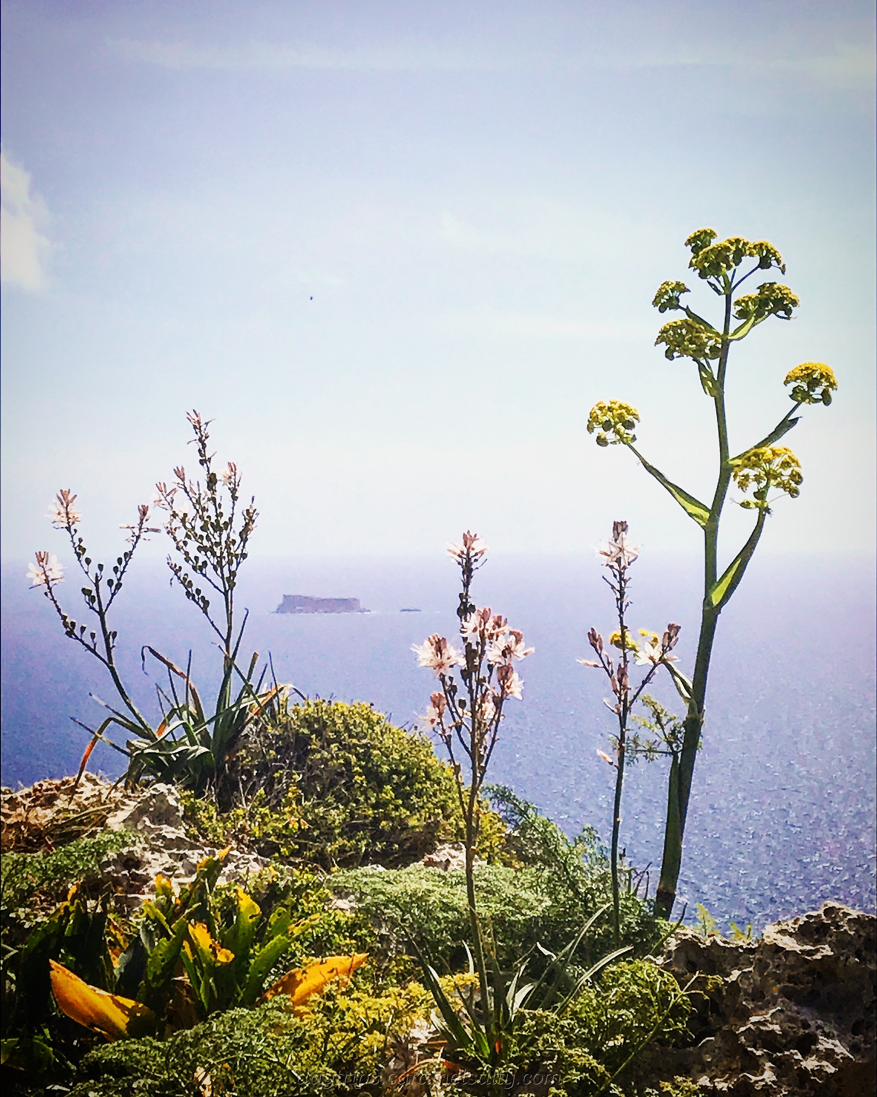
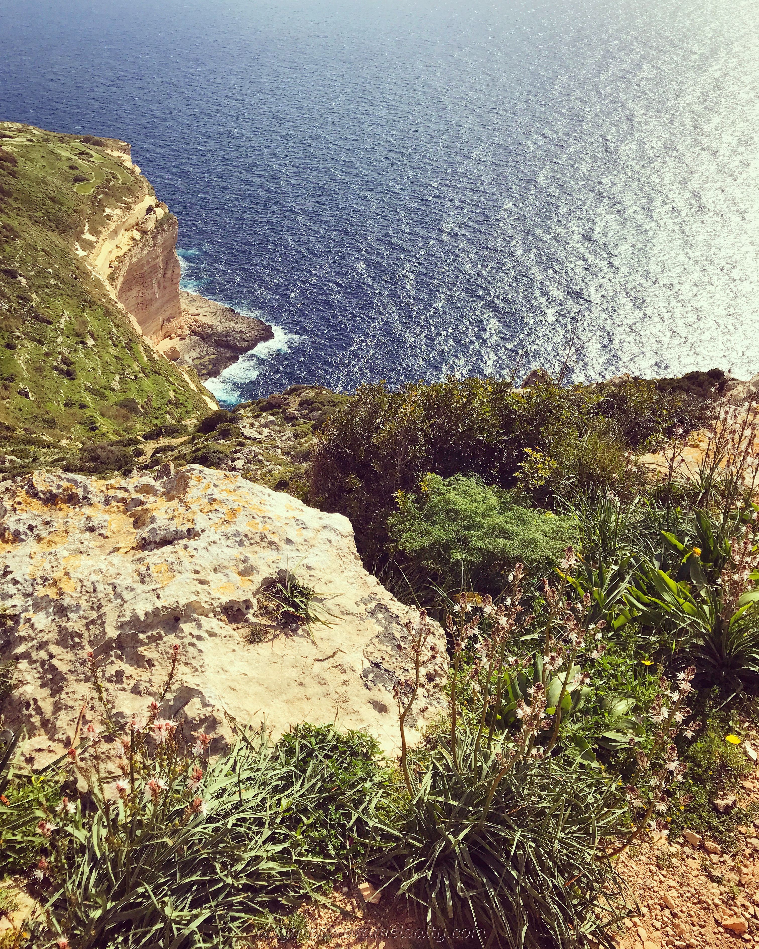
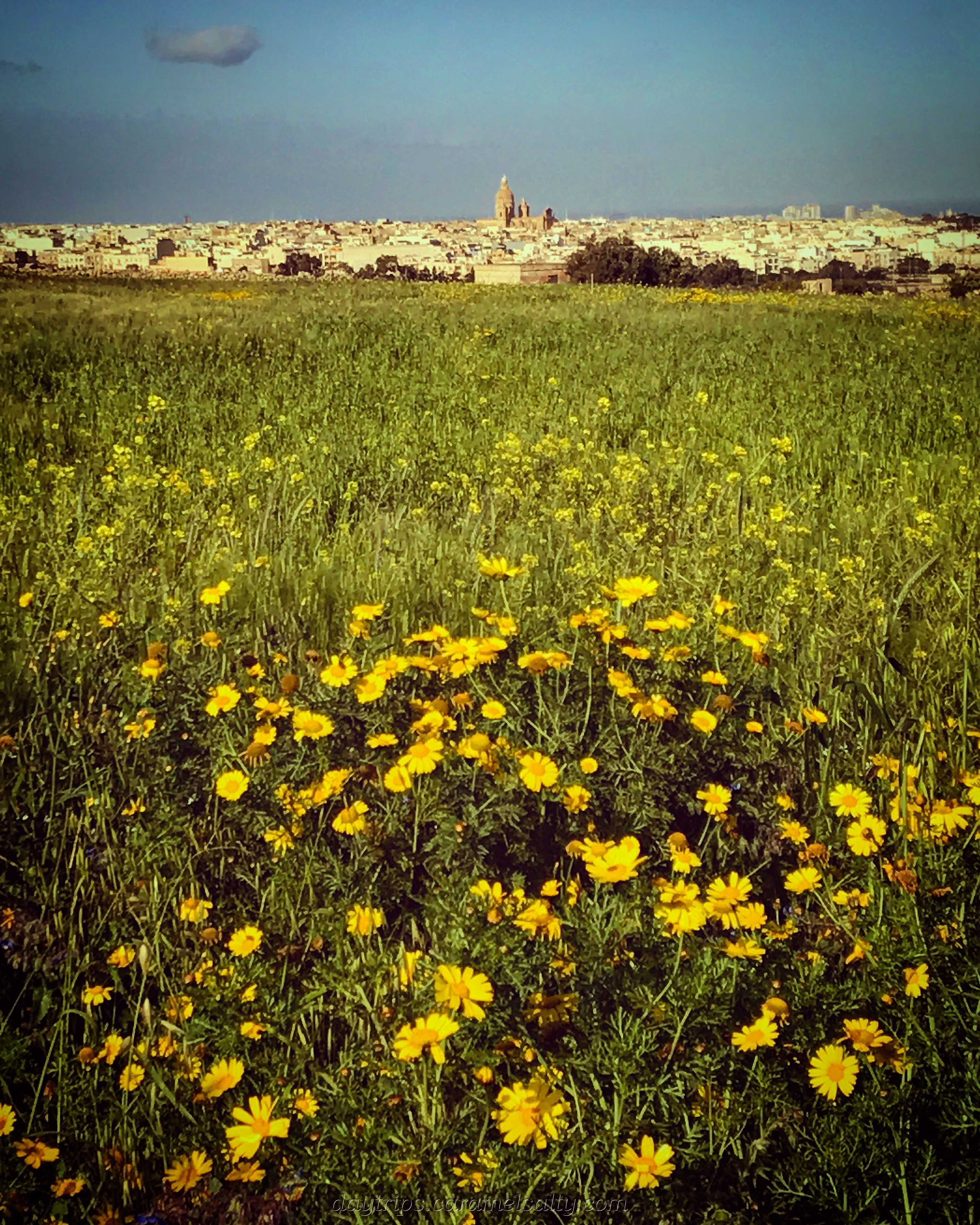
Shortly after that I reach the coastal [3] Triq Panoramika road. The cliff edge and the azure blue waters of the Mediterranean are now in view. I wander across to sit on a nearby bench for my first view of the cliffs and the tiny islet of [4] Filfla.
Fishermen are not allowed anywhere close to the uninhabited Filfa Island, as it was used as target practice by the British Navy. And despite its proximity to the other Maltese islands, it has a completely different eco system to that of Gozo and Comino.
The walk starts at the base of the radar balls, which are set at the highest point of the Maltese islands. I was right about the brutal, concrete structure. What I had failed to also menton was the tall, wire fencing surrounding it. So I stand by my opinion that these are best viewed from afar.
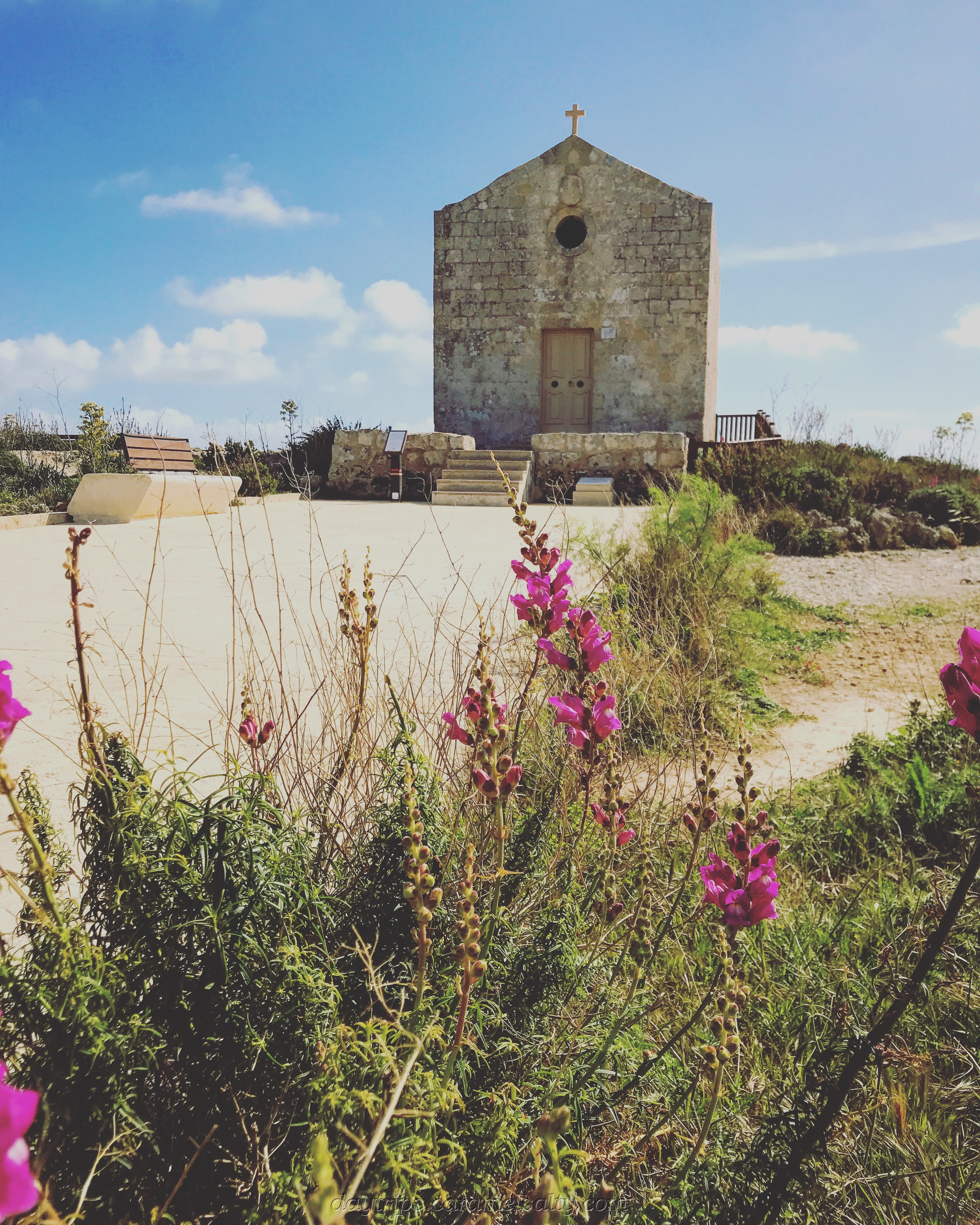
Next on the list is the far more charming little countryside [5] St Magdalene Chapel (18th century church). A wooden walkway running round the back of it provides greats vistas of the cliffs. And amongst the rocky ground next to it, are the [6] Clapham Junction cart ruts.
The walk continues along the main road, where, apart from the hourly 201 bus, lorries occasionally trundle past me with their dusty loads. Isn’t it ironic that as I enjoy the magnificence of these limestone cliffs, just yards away, man is busy carving out the very essence of it .
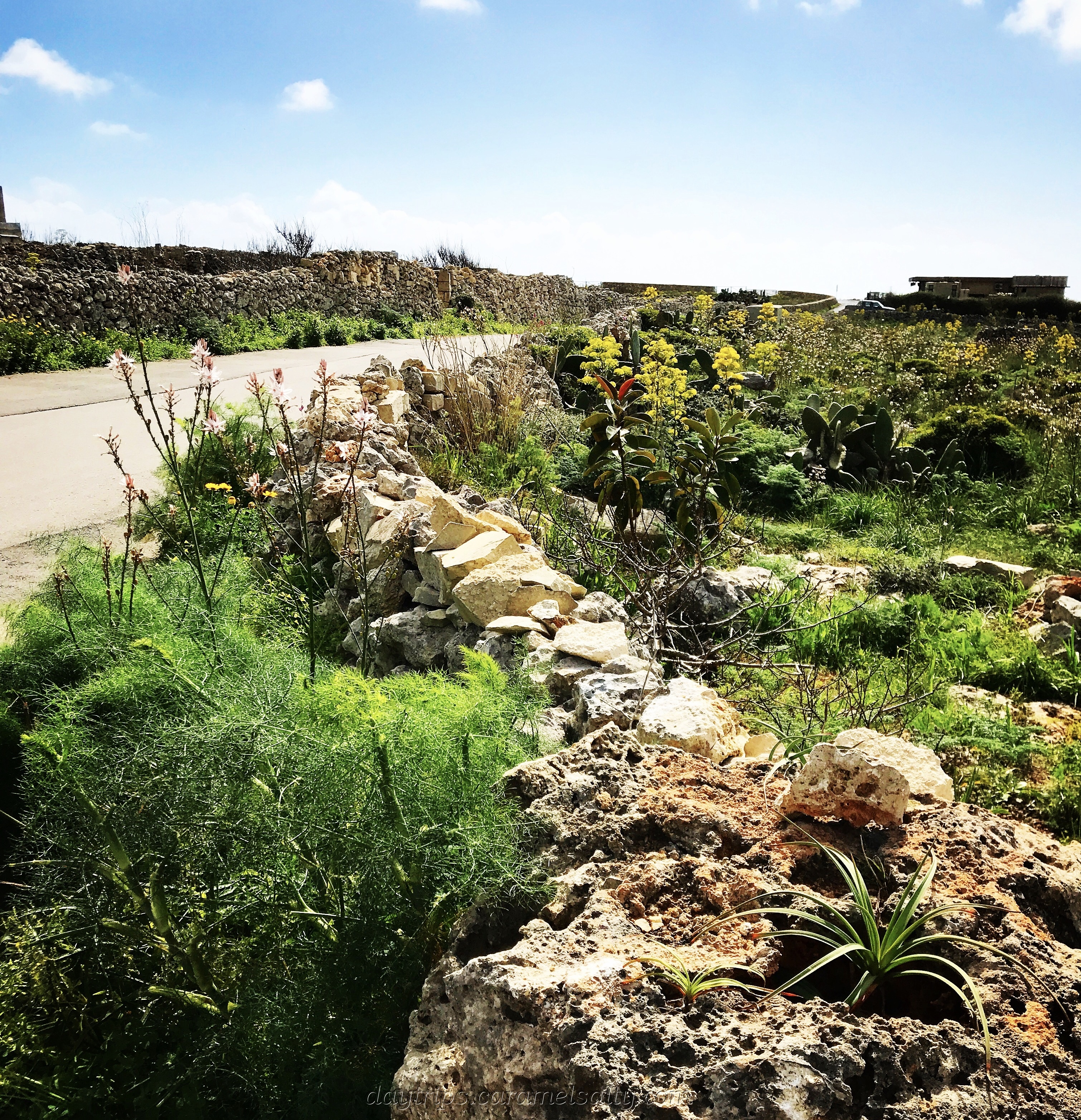
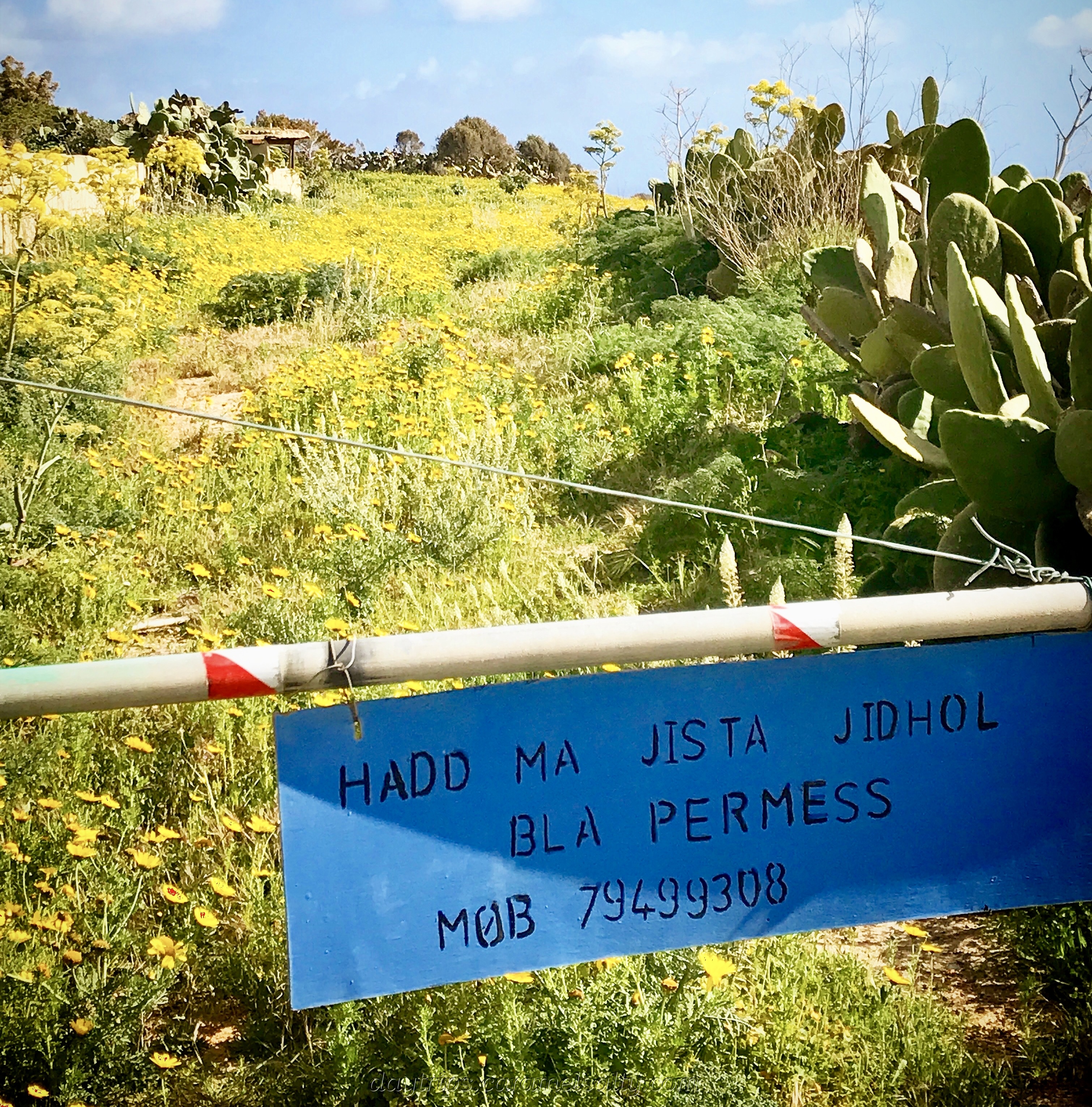
The walk does warn to stick to the route, as there is private land around. Which is a shame, as I would have loved to have walked through a small field of knee high yellow flowers, had it not been for the barricade.
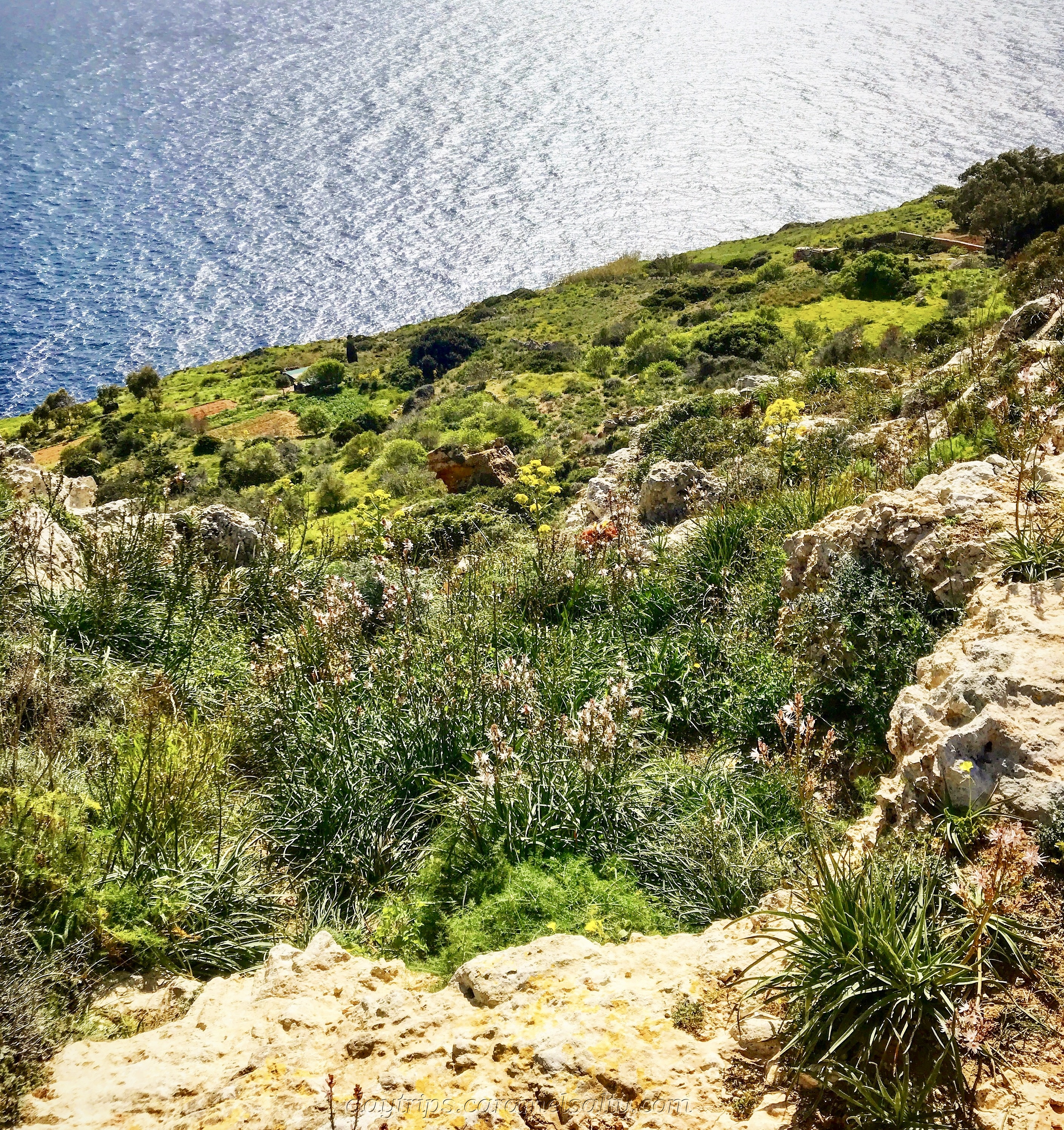
However, I do find a public diversion which takes me closer to the cliff edge for wonderful views all the way down to the crashing waves. In the narrow plateau between the cliff and sea, I spot some tiny farms. Well, they’re certainly tiny from up here.
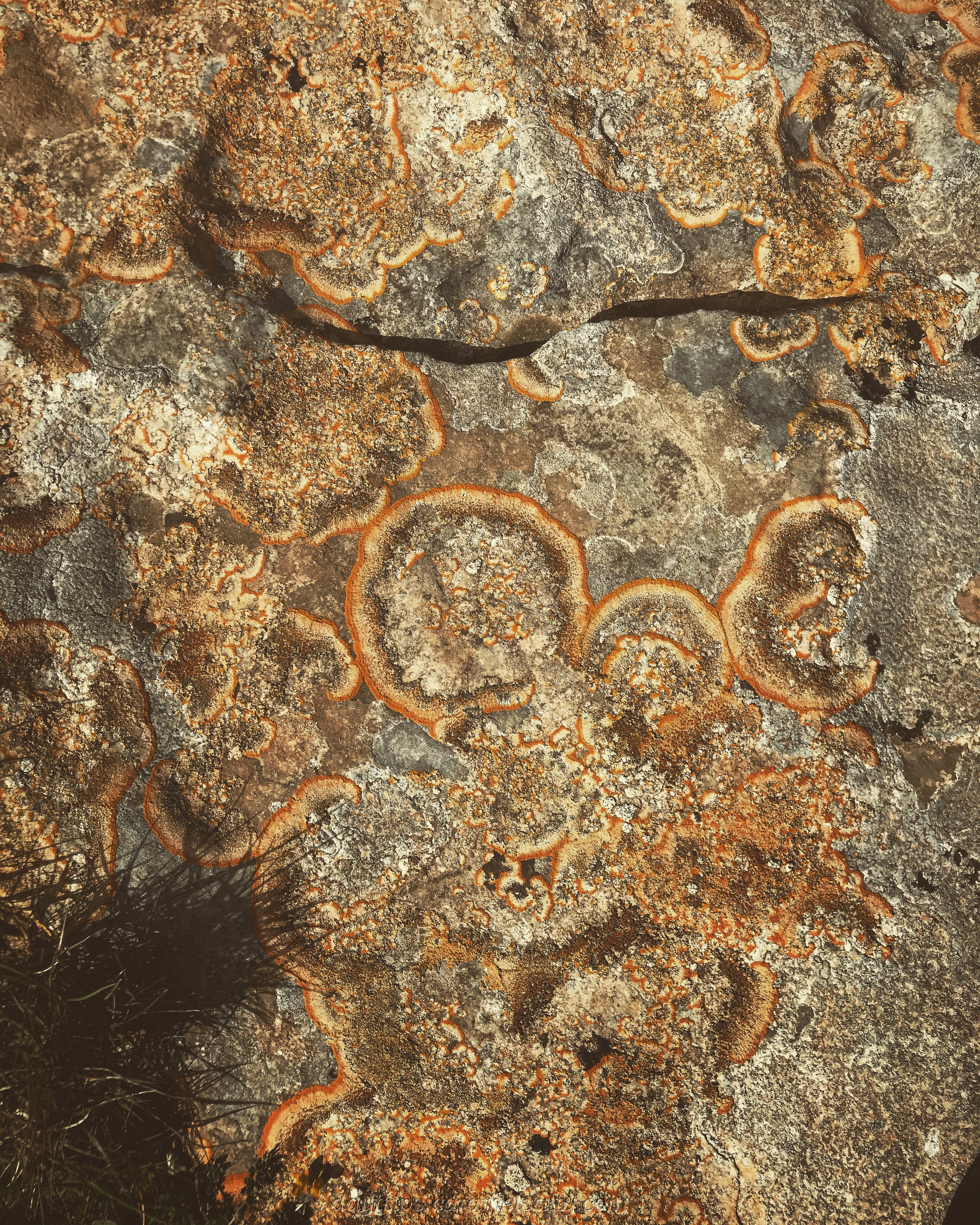
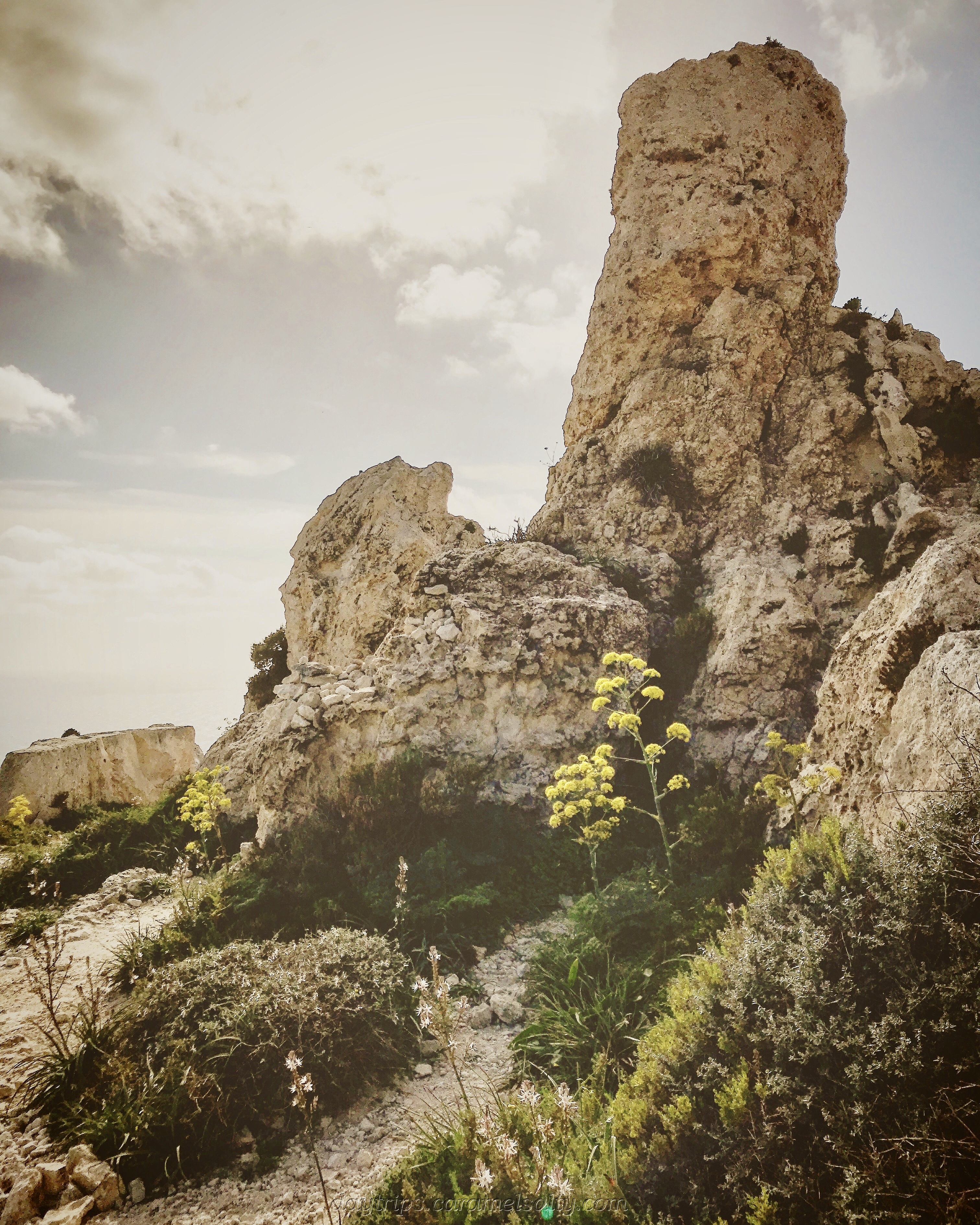
The walk finally comes off the main road (yay!!). Stepping gingerly across the uneven boulders, I can’t help but notice the great many [8] sea fossils in the rocks here, once part of the sea bed millions of moons ago. It brings out the amateur archaeologist in me, as I spend some time examining them.
I am heading towards the [9] promontory, where there are already a few walkers taking selfies or simply perched on boulders enjoying the stunning views. I follow suit. With the sun beating down, the wind in my hair, I don’t want to move from here.
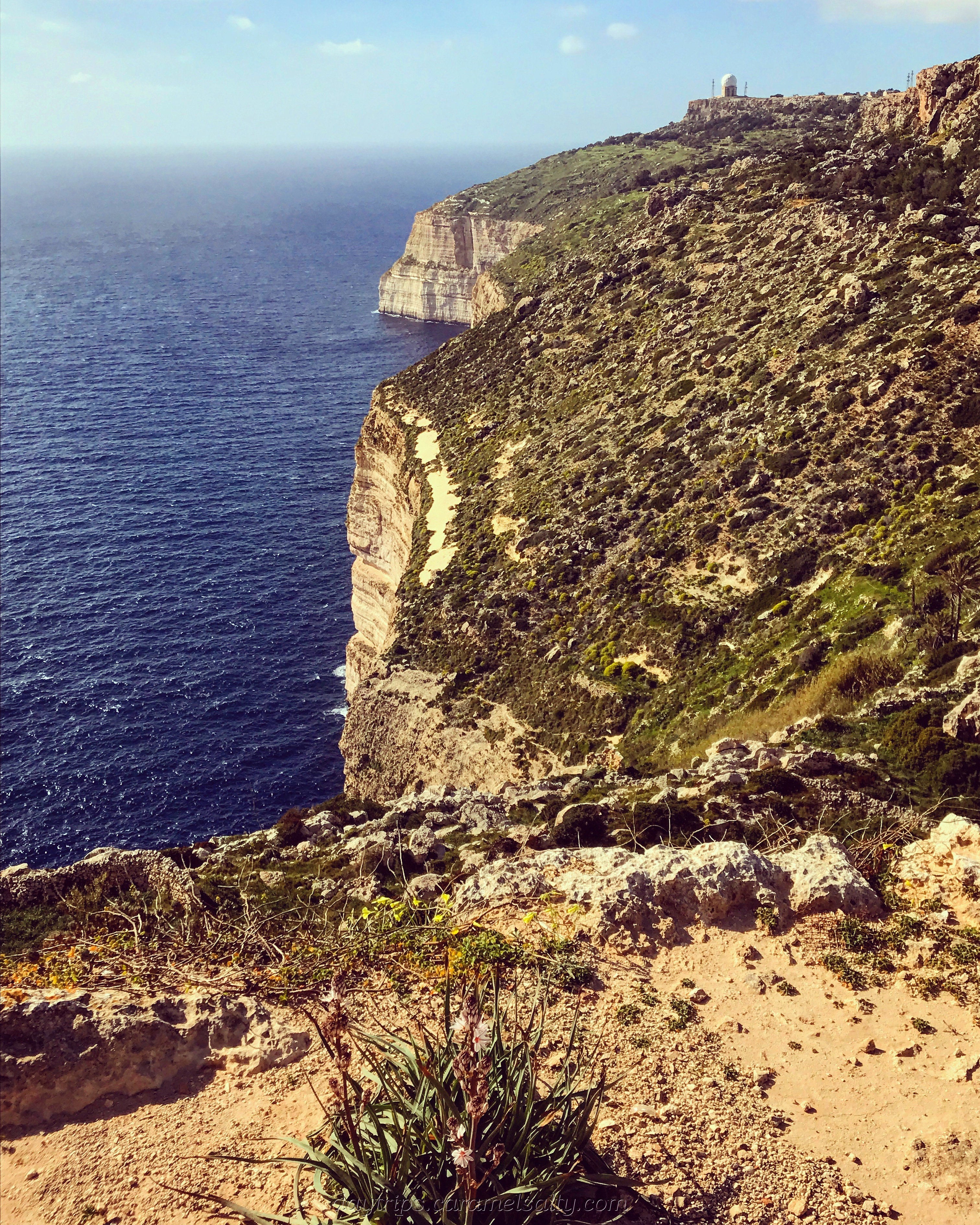
Standing at around 253 meters above sea-level, impreganable and sheer, you’d have to be pretty myopic to not spot them. But that’s exactly what short sighted Carmelo Borg Pisani, a Maltese traitor, manages to do. Returning to spy for the Italians in WWII, he mistakenly lands here, gets stranded, gives himself up, gets recognised, gets tried, gets executed.
The next part of the walk takes me round the headland to the bottom of the cliff face. I’m glad that the path isn’t directly underneath the cliff, as it’s home, by the sounds of it, to thousands of birds. Unable to see them clearly, but certainly able to hear them loudly, I walk along to the choir of chirping birds.
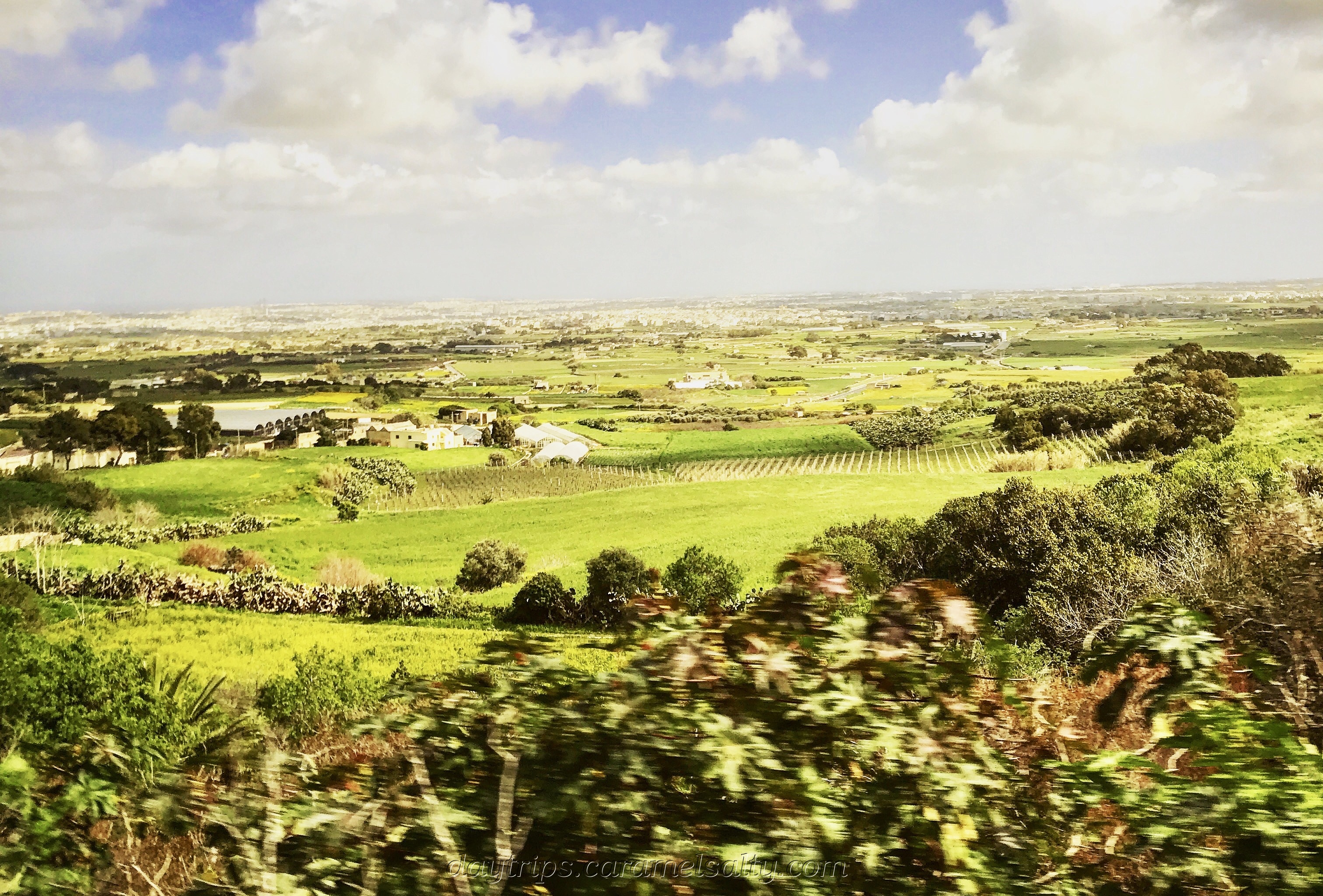
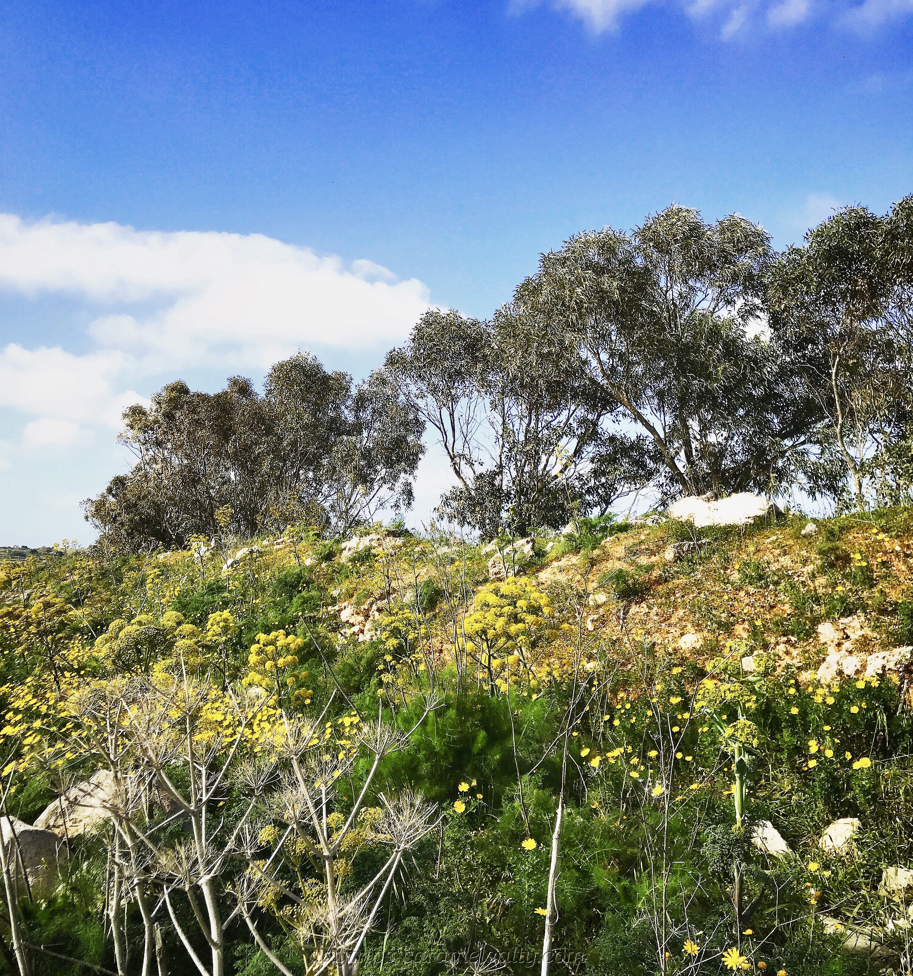
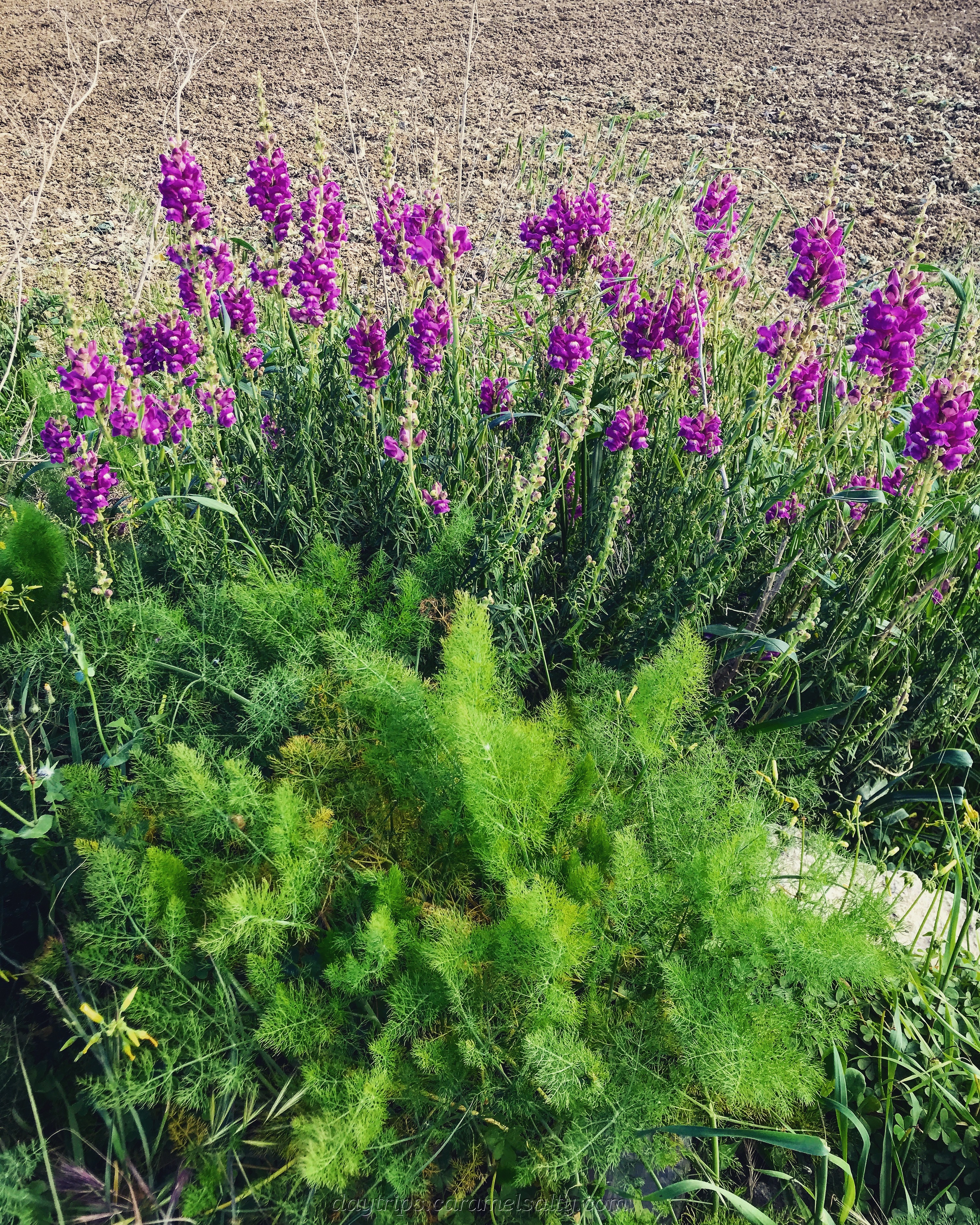
The suggested diversion in the walk to [9] Mount Carmel Chapel is not worth it, as it’s well and truly shut, and well and truly in need of repairs. So I head back to the main track and enjoy floral fields, cliffs, farmhouses and freshly tilled farms instead. And the fresh air.
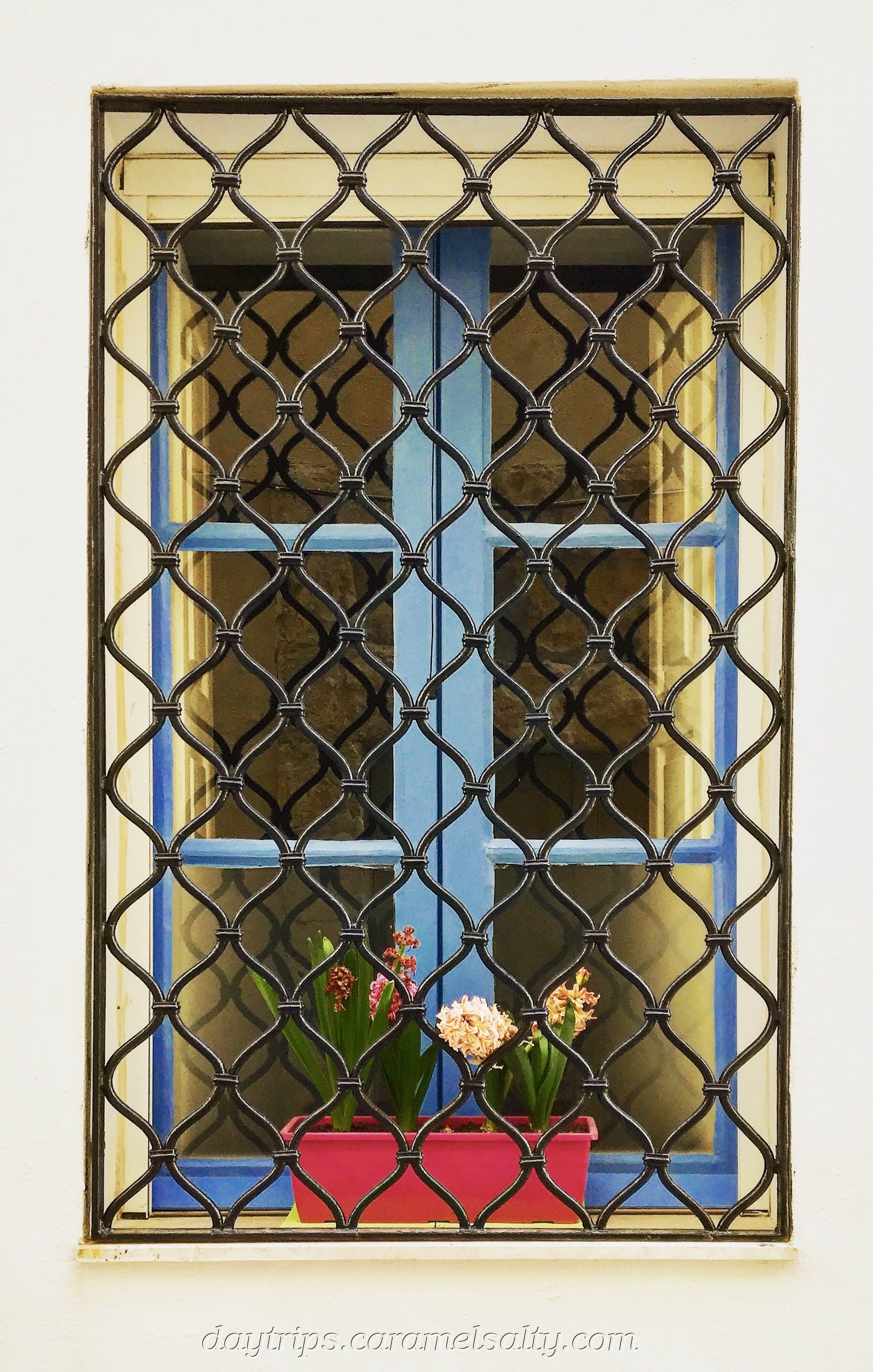
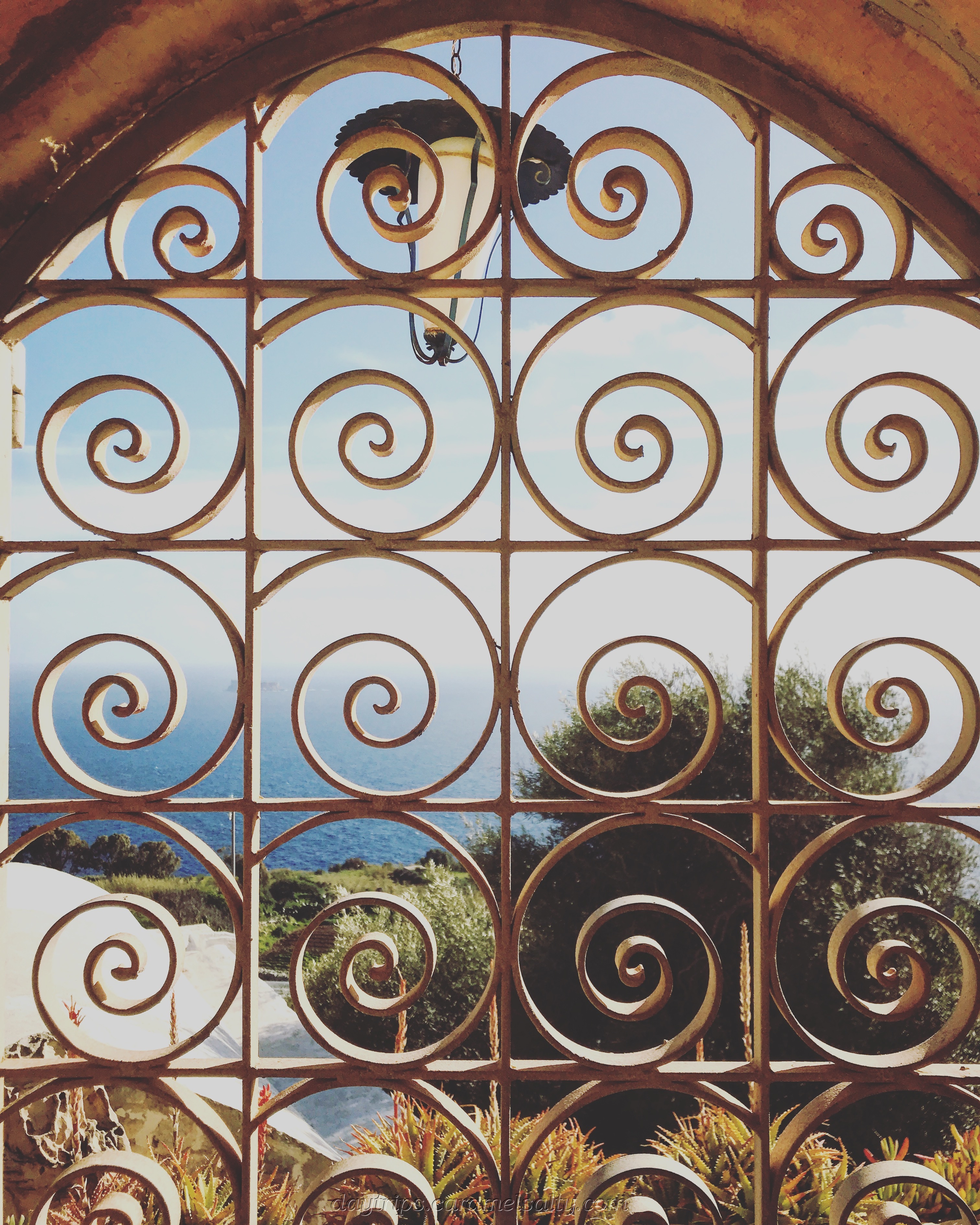
One particular farm house, close to the [10] Anunciation chapel, has a [11] pretty grill gate. Looking through them, I get a glimpse of the amazing views this house enjoys.
The remainder of the walk is along working farms and fields, with the occasional farmer or farm hand being sighted. There is just countryside, and no large buildings in sight. Or at least they are miles away, such as the town of [12] Siggiewi, whose church I spy across the stretch of fields.
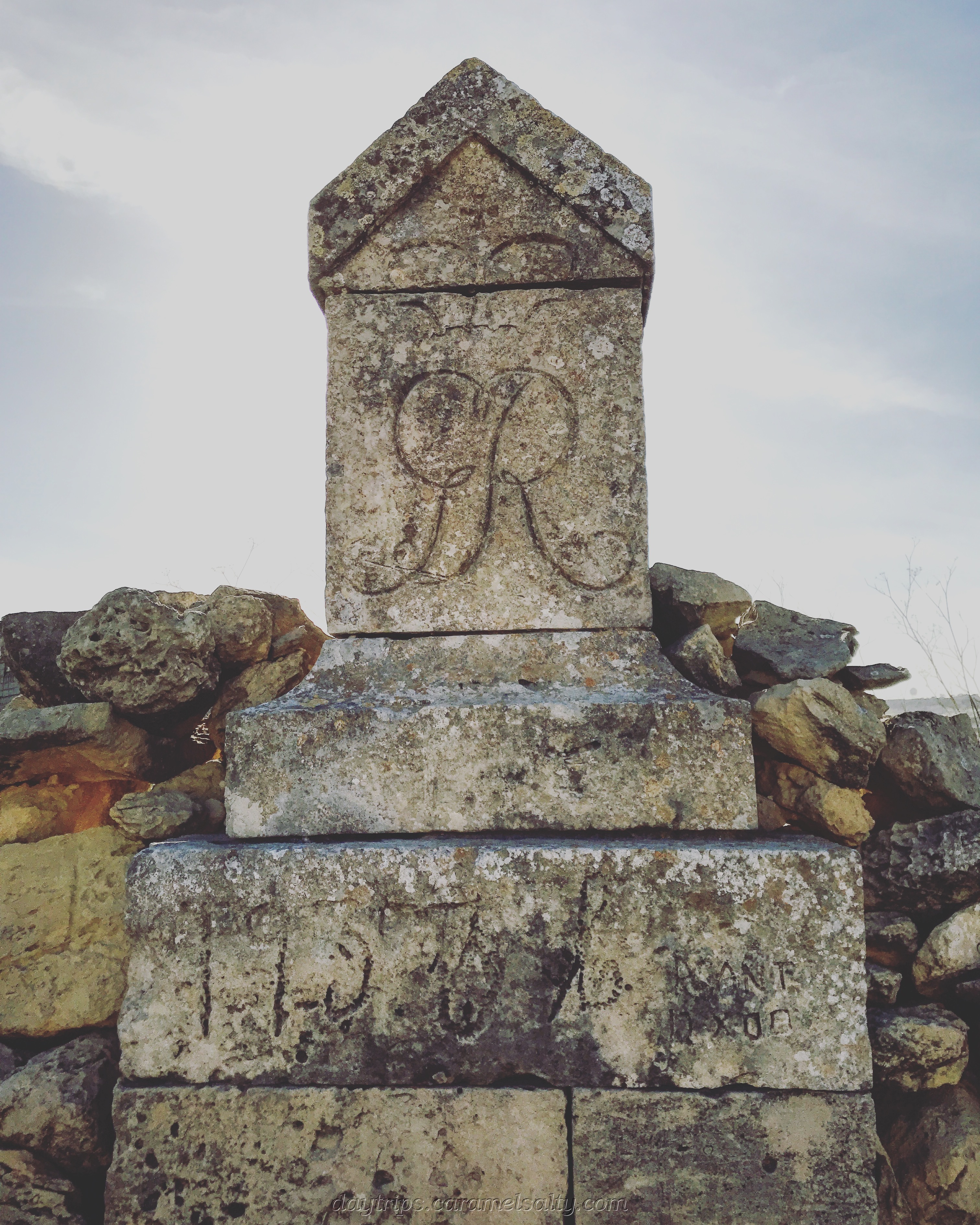
At the [13] aqueducts, I finally spill out onto a narrow, kerbless, main road, where I decide to end my walk. Malta never stops to surprise. I spot an old [14] British land border marker just by the Lanza bus stop, where I catch the bus back to Rabat.
The bus journey back to Rabat, retraces my walk, but in reverse of course. Although I hadn’t completed the entire walk, I have thoroughly enjoyed it and intend to do at least one more before I leave. Malta may yet end up being a walker’s paradise for me.
Bus Timetables & Walking Route
- Tallinja Bus Pass – available from airport, bus terminals. I buy the 7 days unlimited. Without a pass, each bus journey is a standard fare of 1.50 Euros when I was there.
- Buses to Dingli from Valletta – bus #52 timetable & route and bus #56 timetable & route
- Catch a bus to Rabat and then the bus to Dingli – bus #201 timetable & route
- Bus 201 runs up and down this walking route
- Malta Tourism Authority’s Dingli Cliff Walk – online pdf here.